The Big Chill: Jacksonville Prepares for a Record-Breaking Temperature Plunge
A Frontal Shift: Jacksonville's Weather Rollercoaster
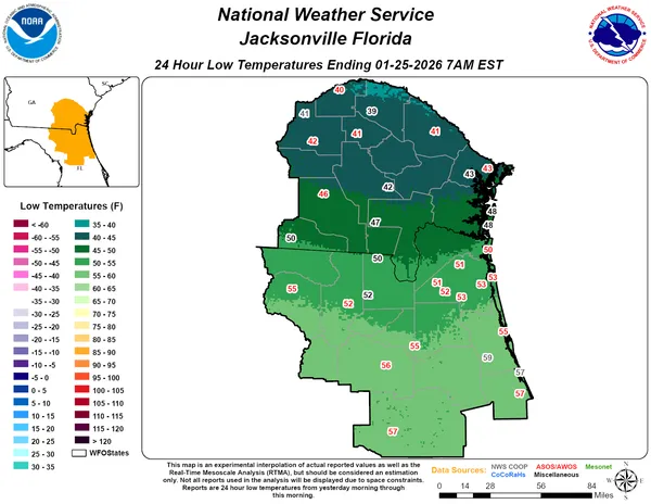
Residents of the River City are waking up to a significant weather transition this Monday, January 26, 2026. A powerful cold front is sweeping through Northeast Florida this morning, marking the end of recent unseasonable warmth and ushering in a period of intense winter cold. While the day may start off feeling manageable, the local forecast indicates a dramatic shift that will have many reaching for their heaviest coats by sunset. This arrival of arctic air follows a weekend that saw temperatures climbing into the 80s, creating one of the most drastic temperature swings the region has seen in recent years.
Morning Forecast: Showers and the Frontal Passage
The morning hours will see the final remnants of the warm air mass that dominated the region over the last few days. Expect mostly cloudy skies and a stray morning shower as the cold front pushes across Duval County. Early morning temperatures will hover in the mid-50s, but residents are warned not to be deceived by the initial mildness. The frontal passage is expected to be relatively dry, with rain coverage remaining minimal, though a few damp commutes are possible through the early rush hour. By mid-morning, the clouds will begin to break, offering glimpses of the sun as the wind shifts toward the north.
Afternoon Predictions: Deceptive Sunshine
For the afternoon, Jacksonville will experience a mix of sun and clouds. Despite the increasing sunshine, the cold air surge behind the front will keep temperatures from climbing much further. Expect a daytime high reaching between 62°F and 67°F. While these figures may seem typical for a January day, they represent the warmest part of the entire week. Meteorologists note that temperatures will likely remain steady or begin a slow decline as the afternoon progresses and a strong northerly flow settles in. Travelers at Jacksonville International Airport should also be mindful of broader impacts, as a massive winter storm affecting much of the Eastern United States has already begun to trigger flight cancellations and delays locally.
Evening and Overnight: The Deep Freeze
The real story of today’s weather unfolds after the sun goes down. Temperatures are predicted to plummet rapidly throughout the evening. By late tonight and into early Tuesday morning, the mercury is expected to drop to a frigid low of 26°F to 27°F. This represents a nearly 40-degree swing from the daytime highs of the previous day. A Freeze Watch has been officially issued for the area, and local authorities are urging residents to take the necessary precautions immediately.
- Wind and Rain: Expect only stray showers early this morning; no major wind warnings are currently in effect, though a biting northern breeze will follow the front.
- Freeze Alert: A Freeze Watch is active for tonight through Tuesday morning, with multiple nights of sub-freezing temperatures expected this week.
- Safety Precautions: Remember to protect the "Four Ps": People, Pets, Plants, and Pipes as temperatures dip well below the freezing mark tonight.