Sun-Drenched Skies and Morning Mist: Jacksonville's Tuesday Temperature Spike
A Warm Turn for the First Coast
Jacksonville residents can expect a significant shift in conditions this Tuesday, February 10, 2026, as a warm-up takes hold across the region. After a chilly start to the month, today marks a transition toward much milder temperatures, offering what local meteorologists are calling 'open window weather.' While the afternoon promises brilliant sunshine and pleasant conditions, the early morning hours require extra caution for those heading out on the roads.
Morning Commute: Fog and Visibility Alerts
The day begins with a significant weather advisory regarding visibility. Patchy to areas of dense fog are expected throughout the morning hours across Duval County and surrounding inland areas. The National Weather Service in Jacksonville has noted that visibility may drop to near zero in some locations, particularly where lingering smoke from nearby smoldering fires interacts with the heavy morning mist. Commuters on I-95 and I-10 should allow for extra travel time and use low-beam headlights until the sun burns through the haze around 10:00 a.m.
- Morning Lows: Upper 30s to mid-40s inland; high 40s along the beaches.
- Visibility: Reduced to less than a quarter-mile in dense fog pockets.
- Wind: Light and variable, becoming South-Southwesterly.
Afternoon Outlook: Golden Skies and 70-Degree Peaks
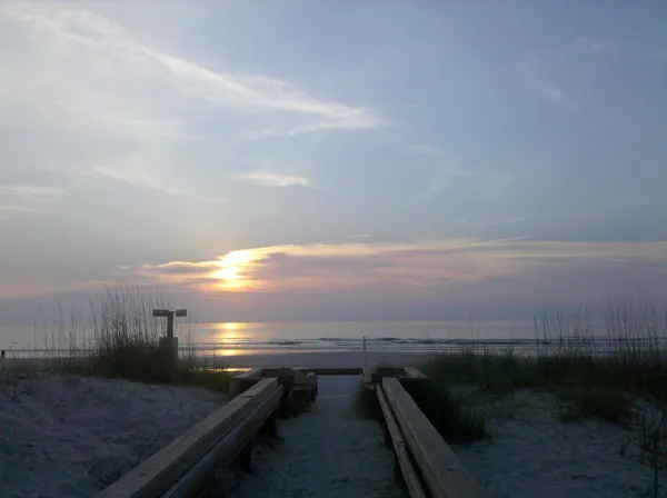
Once the morning fog lifts, Jacksonville will experience a beautiful, mostly sunny afternoon. Temperatures are set to climb well above seasonal averages, reaching the upper 70s in the interior parts of the city. While the inland regions soak up the warmth, the coastal communities and beaches will remain slightly cooler, with highs hovering in the upper 60s to low 70s due to the oceanic influence. It is a perfect day for outdoor cleanup, park visits, or a midday walk along the Riverwalk.
- Afternoon Highs: 76°F to 78°F inland; 69°F to 72°F at the beaches.
- Wind Speed: Southwest at 5 to 10 mph.
- Precipitation: 0% chance of rain throughout the daylight hours.
Evening Chill and Looking Ahead
As the sun sets at approximately 6:07 p.m., temperatures will begin a slow descent back into the 50s. The clear skies observed during the afternoon may give way to another round of patchy fog overnight into Wednesday morning. Looking further into the week, this warm trend is expected to continue until a weak front arrives late Wednesday, bringing a slight chance of showers. For tonight, however, the dry spell remains firmly in place, providing a calm and clear evening for the River City.
- Evening Temperatures: Dropping to around 55°F by late evening.
- Overnight Low: Approximately 49°F to 52°F.
- Precipitation: Dry conditions expected to persist until midweek.