Stormy Start for the Green: Weather Impact Alert Issued as Cold Front Hits Jacksonville
A Turbulent Thursday Morning Arrival
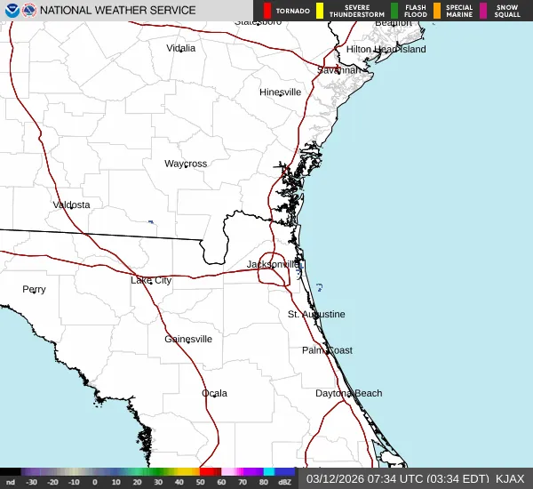
The First Coast News Weather Team has officially issued a Weather Impact Alert for today, Thursday, March 12, 2026. Residents and visitors across the region—particularly those heading to Ponte Vedra for the highly anticipated opening round of The PLAYERS—should prepare for a soggy and potentially hazardous start to the day. A fast-moving cold front is currently tracking from west to east across the First Coast, bringing with it a potent line of downpours, frequent lightning, and gusty winds.
Morning Forecast: Rain, Lightning, and Wind
The primary weather threat is expected to peak during the morning hours as the front marches through Jacksonville and surrounding counties. Commuters should expect significantly reduced visibility and ponding on the roads during the early rush hour. For golf fans, this means the first tee times of the tournament at TPC Sawgrass will likely face delays or extremely challenging conditions. Forecasters are predicting a quick-moving but intense line of storms capable of producing wind gusts that could toss unsecured outdoor furniture or cause minor tree damage.
Afternoon Transition Amidst Unseasonable Heat
Despite the stormy start, Jacksonville continues to grapple with a stretch of unseasonably warm weather. Before the cold front fully clears the coast, temperatures are expected to climb well above average, reaching a forecasted high of 86°F. This continues a trend of record-level heat experienced earlier this week. By the mid-afternoon, the heaviest rain and the threat of lightning should begin to push offshore, though the atmosphere will remain humid and unsettled. A transition to partly cloudy skies is expected as the cold front finally shifts the wind direction.
Evening Outlook and Critical Safety Warnings
By Thursday evening, conditions will stabilize significantly. As the front moves into the Atlantic, the air will begin to dry out, leading to a much more comfortable night with a low temperature of approximately 64°F. While the rainfall is a welcome sight for a region currently facing extreme drought conditions, local officials have noted a unique risk: lightning-sparked wildfires. Because the ground has been so parched, any lightning strikes that occur before the heaviest rain arrives could potentially ignite brush fires.
Residents are encouraged to keep a close eye on the radar throughout the day and seek indoor shelter immediately if thunder is heard. Stay tuned to jacksonville.news for further updates on how this front will impact the weekend forecast.