Morning Ice and Evening Showers: A Chilly Friday for Jacksonville
Frosty Start Gives Way to a Brief Midday Reprieve
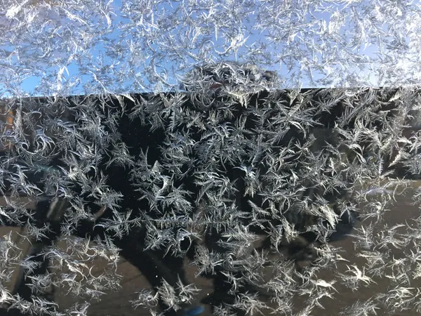
Jacksonville residents woke up to a crisp and icy morning this Friday, January 30, 2026, as the city continues to navigate a significant cold stretch. While a Freeze Warning remained in effect across much of Northeast Florida through 9:00 a.m., the day promises a brief, albeit modest, reprieve from the sub-freezing temperatures that have gripped the region throughout the week. The early morning frost was especially heavy in areas west of Highway 301, with temperatures in the urban core hovering in the mid-30s while inland suburbs saw digits dipping into the high 20s.
Today’s Detailed Forecast
- Morning: Widespread frost and freezing conditions persisted until roughly 9:00 a.m. Residents are encouraged to check on neighbors and ensure that sensitive outdoor plants remained covered through the early hours.
- Afternoon: Expect a slow warming trend as skies shift from partly to mostly cloudy. Temperatures are predicted to reach a daytime high of approximately 64°F. While this is the warmest temperature seen in several days, it remains below the seasonal average for late January.
- Evening and Night: Cloud cover will thicken significantly after sunset. Forecasters are tracking a weak low-pressure system that could bring isolated showers to the First Coast late tonight and into the early hours of Saturday morning. The chance of rain is currently sitting at 20-30%, with overnight lows expected to settle around 39°F.
Urgent Alerts and Warming Centers
The City of Jacksonville’s Emergency Preparedness Division has confirmed that the Warming Center at the Legends Center on Soutel Drive remains accessible through this morning for those needing shelter. JTA buses have been providing complimentary transport to the center for vulnerable individuals. While the immediate freeze warning expires today, local authorities advise that this is not the time to store away the heavy coats or heaters.
The Calm Before the Arctic Storm
Forecasters warn that today’s 64-degree high is merely the "calm before the storm." A massive arctic blast is forecasted to arrive Saturday afternoon, bringing northerly wind gusts of up to 45 mph. The National Weather Service has already issued an Extreme Cold Watch for Saturday night through Sunday, with "feels like" temperatures predicted to plummet into the single digits. Residents should use the relatively stable conditions this afternoon to finish winterizing their homes and protecting pipes and pets before the record-breaking cold hits the region this weekend.