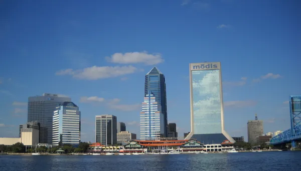
From Frost to Sunshine: Jacksonville Shakes Off the Chill as Warming Trend Begins
Early Morning Frost and Sunny Skies: A Crisp Thursday in Jacksonville
Residents of the River City are waking up to some of the coldest air of the season this Thursday, March 19, 2026. After a night where temperatures dipped into the mid-40s in the city and near-freezing in rural inland areas, a lingering frost advisory remains the primary concern for the early hours. However, the recent "cold snap" is proving to be short-lived, as the First Coast begins its transition into a much-anticipated spring warming trend.
Morning: Bundle Up for the Commute
If you are heading out early, you will definitely want a heavy coat and perhaps a pair of gloves. Temperatures at sunrise are hovering around 45°F at Jacksonville International Airport, though inland areas like Macclenny and Waycross have seen thermometers dip even closer to the freezing mark. The Weather Authority’s freeze warnings and frost advisories for inland counties are scheduled to expire at 9:00 a.m. as the sun begins to do its work. Despite the cold start, the sky is expected to remain crystal clear, providing plenty of sunshine for the morning drive.
Afternoon: Bright Sun and Rising Mercury
As we move into the afternoon hours, a strong high-pressure system currently dominating the Southeast will continue to keep clouds at bay. Jacksonville is looking at nearly 100% sunshine today, which will help push the mercury toward a more comfortable peak. Key afternoon details include:
- High Temperature: Expected to top out at 68°F.
- Wind: Breezy conditions with north-northwest winds at 10-15 mph and gusts reaching the low 20s.
- Rain Chance: Extremely low at only 10%.
The humidity remains exceptionally low, making that 68-degree high feel crisp and refreshing rather than muggy. It is a perfect afternoon for outdoor activities, provided you are prepared for the occasional brisk wind gust that may make it feel slightly cooler in the shade.
Evening and Overnight Outlook
Once the sun sets this evening, the dry air will allow temperatures to drop quickly once again. Expect evening temperatures to fall through the 50s, eventually settling at an overnight low of 47°F. While not as dangerously cold as the previous night, it will still be a chilly evening for anyone attending outdoor events or exhibitions in St. Johns County. Looking ahead, the warming trend accelerates significantly; Friday is expected to hit the mid-70s, with a weekend forecast promising a return to the mid-80s.
Weather Alerts and Safety Reminders
While the worst of this late-season cold snap is behind us, local authorities remind residents to stay vigilant during the final hours of the cold alerts:
- Keep sensitive outdoor plants covered until the 9:00 a.m. frost advisory officially lifts.
- Ensure outdoor pets have a warm, sheltered place to rest until the midday warm-up.
- Be mindful of the fire risk, as the combination of low humidity and gusty winds can lead to rapid fire spread in dry areas.
Stay tuned to jacksonville.news for the latest updates as we head into a beautiful, warm spring weekend!