Extreme Cold Watch issued for Greater Jacksonville as Arctic outbreak targets Saturday night into Sunday afternoon
A rarely used alert for Northeast Florida
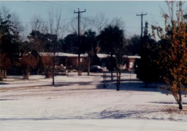
An Extreme Cold Watch has been issued for portions of Northeast Florida and Southeast Georgia, including the Greater Jacksonville area, as an Arctic air mass is forecast to bring unusually dangerous wind chills this weekend. The watch is scheduled for Saturday night, Jan. 31, 2026, through early Sunday afternoon, Feb. 1, 2026.
The watch signals the potential for wind chills low enough to create a meaningful risk of cold-related injury with prolonged exposure. Forecast guidance tied to the watch indicates “feels like” temperatures could fall into the 5 to 10 degree range during the coldest period.
What the watch means, and what is driving it
Unlike the more common Freeze Watch or Cold Weather Advisory, an Extreme Cold Watch is reserved for the possibility of the lowest wind-chill conditions. In this case, the hazardous cold is expected to follow the arrival of an Arctic front and be reinforced by sustained winds, which can rapidly increase heat loss from exposed skin.
Alongside the wind chill threat, subfreezing air temperatures are also expected across parts of the region, which can create a second set of impacts: frozen or ruptured water pipes, damage to sensitive vegetation, and increased demand on home heating systems.
Expected impacts and who is most vulnerable
Emergency managers and forecasters emphasize that cold-related health risks are not evenly distributed. The greatest danger typically falls on people without reliable heat, those experiencing homelessness, older adults, infants, and individuals with certain medical conditions. Outdoor workers and anyone spending extended time outside overnight or early Sunday morning are also at heightened risk.
- Health: Risk of frostbite and hypothermia if skin is exposed for extended periods.
- Housing and utilities: Potential for frozen pipes and localized service disruptions during peak cold.
- Transportation: Ice can develop on bridges and elevated roadways if moisture is present and temperatures drop quickly.
How residents can prepare before Saturday evening
With the coldest conditions expected overnight, preparation is most effective when completed earlier on Saturday. Key steps include protecting plumbing, ensuring safe indoor heating, and checking on people who may need assistance.
- Protect pipes by insulating exposed plumbing and disconnecting or covering outdoor hoses and spigots.
- Keep pets indoors when possible and ensure outdoor animals have a dry, wind-protected shelter.
- Use space heaters safely: keep clearance from combustibles and avoid improvised heating methods indoors.
- Check on older neighbors, relatives, and anyone without dependable heat before temperatures fall.
Forecast watches are issued when hazardous conditions are possible, not guaranteed. Residents should monitor updates through Saturday as confidence increases and the alert may be upgraded or adjusted.
The watch centers on the overnight period from Saturday into Sunday, when wind chill conditions are expected to be at their most dangerous. Additional localized alerts, including freeze-related products, may be issued as the event approaches.