Coastal Caution and Sun-Kissed Skies: Jacksonville’s Saturday Forecast Highlights Hidden Hazards
Pleasant Temperatures Meet Critical Safety Alerts
Jacksonville residents waking up this Saturday, March 14, 2026, can expect a classic Florida spring day defined by mild temperatures and a mix of sun and clouds. While the thermometer suggests a perfect day for outdoor leisure, the National Weather Service has issued several critical safety advisories that residents should keep in mind before heading to the coast or starting any backyard projects.
Morning: A Mild and Breezy Start
The day begins with comfortable conditions as temperatures hover around 62°F in the early morning hours. Skies are expected to be partly cloudy with a light breeze coming off the Atlantic at approximately 10 miles per hour. For those heading out for early morning jogs or visits to local parks like Riverside or Memorial, the humidity remains manageable at around 54%. However, the ground remains notably parched due to ongoing environmental conditions, so residents are encouraged to stay hydrated even in the cooler morning air.
Afternoon: Peak Warmth and Cloud Cover
As we move into the afternoon, the mercury is set to rise to a pleasant high of 78°F. While there is a slight 22% chance of isolated light sprinkles, most of the River City will remain dry. Scattered clouds will provide some relief from the sun, but the UV index is expected to reach a moderate level of 3, making sunscreen a necessity for afternoon activities. Despite the inviting weather, the wind will maintain a steady pace, contributing to a "feels like" temperature that mirrors the actual 78°F reading.
Evening: Cooling Down and Looking Ahead
By sunset, which is scheduled for 7:34 p.m., the air will begin to cool back toward a low of 58°F. The clouds may thicken slightly as a stronger weather system begins to approach the region for late Sunday. For those with Saturday night plans at the Beaches or Downtown, a light jacket may be needed as the evening breeze continues. The overnight hours are expected to remain calm and mostly dry, providing a quiet end to the day.
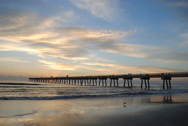
Critical Safety Warnings: Rip Currents and Fire Risk
The lead story for today isn’t just the warmth, but the active warnings in effect. The National Weather Service in Jacksonville has issued a High Rip Current Risk through this evening for all Northeast Florida beaches. Swimmers are urged to stay out of the water or remain near a lifeguard, as dangerous currents can sweep even the strongest swimmers away from the shore.
Additionally, Jacksonville continues to face Extreme Drought conditions. Local officials have highlighted an increased wildfire risk due to the lack of significant rainfall over the past several weeks. Residents should adhere to the following precautions:
- Avoid any outdoor burning or use of fire pits.
- Ensure all cigarette butts are properly extinguished and disposed of.
- Be mindful of parking vehicles over dry grass, as heat from exhaust systems can ignite a fire.
- Report any signs of smoke or brush fires immediately to local authorities.
While the forecast for the remainder of the weekend suggests more significant rain may arrive by Sunday and Monday, today remains a day for vigilance on the sand and in our neighborhoods.