Bundle Up, Jax: Freeze Warning Precedes a Quick Afternoon Thaw
Arctic Blast Grips the First Coast
Jacksonville residents are waking up to a bone-chilling Tuesday as a stubborn Arctic air mass continues to dominate Northeast Florida. Following a night of sub-freezing temperatures, the National Weather Service has maintained a Freeze Warning for the region through 9:00 a.m. this morning, Tuesday, February 3, 2026. The extreme cold, driven by a powerful low-pressure system lingering off the Carolinas, has brought some of the most frigid conditions seen so far this season.
Morning: A Bitter Start
The morning commute is marked by dangerously low temperatures and biting winds. Early risers in Jacksonville saw the mercury dip to a low of 23 degrees, while inland areas like Macclenny reported temperatures as low as 19 degrees. Even coastal residents have not been spared, with temperatures hovering right at the freezing mark. Persistent northwest winds, gusting between 15 and 20 mph, have pushed the wind chill or "feels-like" temperature down to a staggering 15 degrees in some neighborhoods.
Local authorities are emphasizing the protection of the "Four Ps" until the freeze warning expires:
- People: Ensure heaters are used safely and check on vulnerable neighbors.
- Pets: Bring all animals indoors; the wind chill is hazardous for pets left outside.
- Pipes: Leave faucets dripping slowly and wrap any exposed outdoor plumbing.
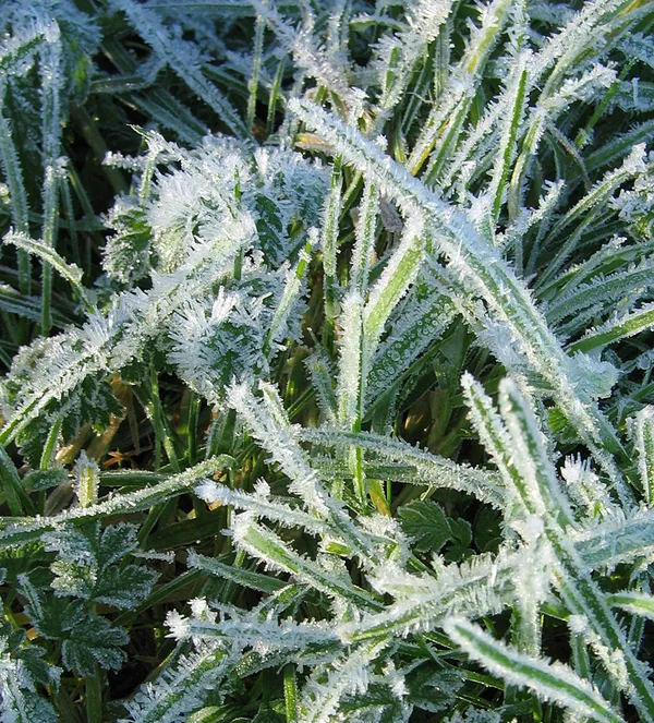
- Plants: Cover sensitive vegetation to prevent damage from the hard frost.
Afternoon: Relief on the Horizon
While the morning is harsh, a significant temperature recovery is expected as the day progresses. The sun will provide much-needed relief, helping the city climb out of the 20s and 30s. By mid-afternoon, Jacksonville is forecast to reach a high of 62 degrees—a notable improvement over Monday’s peak of 53. Although skies may remain somewhat overcast at times, the dry air will keep rain chances at near zero for the duration of the day.
Evening and Midweek Outlook
As the sun sets this evening, temperatures will begin their descent once again, though the extreme cold of previous nights is expected to moderate. Lows tonight will likely settle in the mid-30s for inland areas and the low 40s along the St. Johns River. This warming trend is set to continue through the middle of the week. Forecasters expect highs to reach the upper 60s by Wednesday, though a separate low-pressure system may bring a light chance of rain showers to the area by Wednesday afternoon. For now, Jacksonville residents should keep their heavy coats handy for the morning but can look forward to a more seasonal afternoon.